
This map combines two lovely adjacent nature reserves along a three and a half mile route to make the most of the varied features and scenery. It would be easy to make multiple different shorter routes from either end.
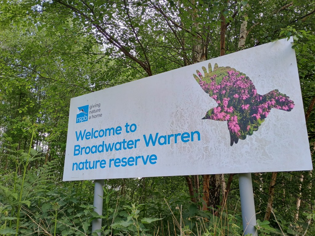
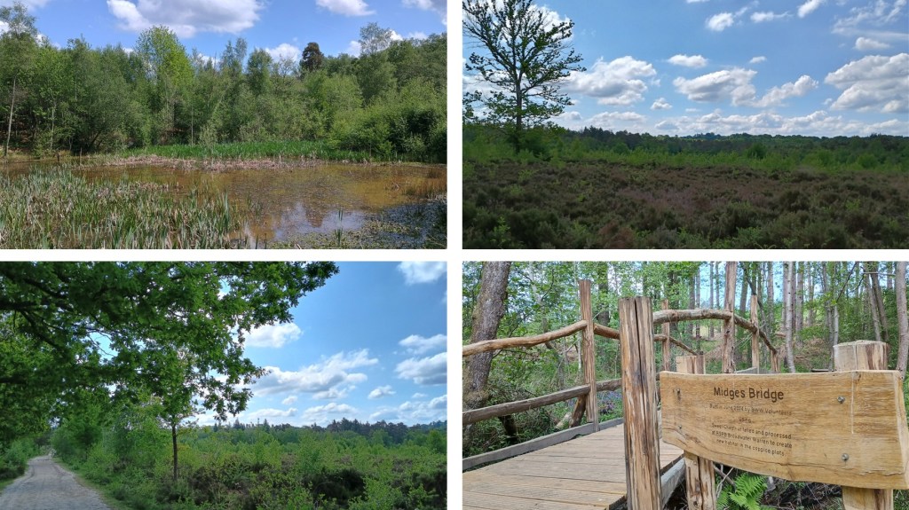
![]() Broadwater Warren is an RSPB forest and heathland. Follow the white arrows clockwise for the 1.5 mile Nature Trail or the green arrows anti-clockwise for the 3 mile Heathland & Woodland Trail (yes, direction matters because the arrows are only on one side of the posts). You can pick up a leaflet with a map at the info stand in the car park. This 123 map is mainly the green route with an extension into the neighbouring reserve.
Broadwater Warren is an RSPB forest and heathland. Follow the white arrows clockwise for the 1.5 mile Nature Trail or the green arrows anti-clockwise for the 3 mile Heathland & Woodland Trail (yes, direction matters because the arrows are only on one side of the posts). You can pick up a leaflet with a map at the info stand in the car park. This 123 map is mainly the green route with an extension into the neighbouring reserve.
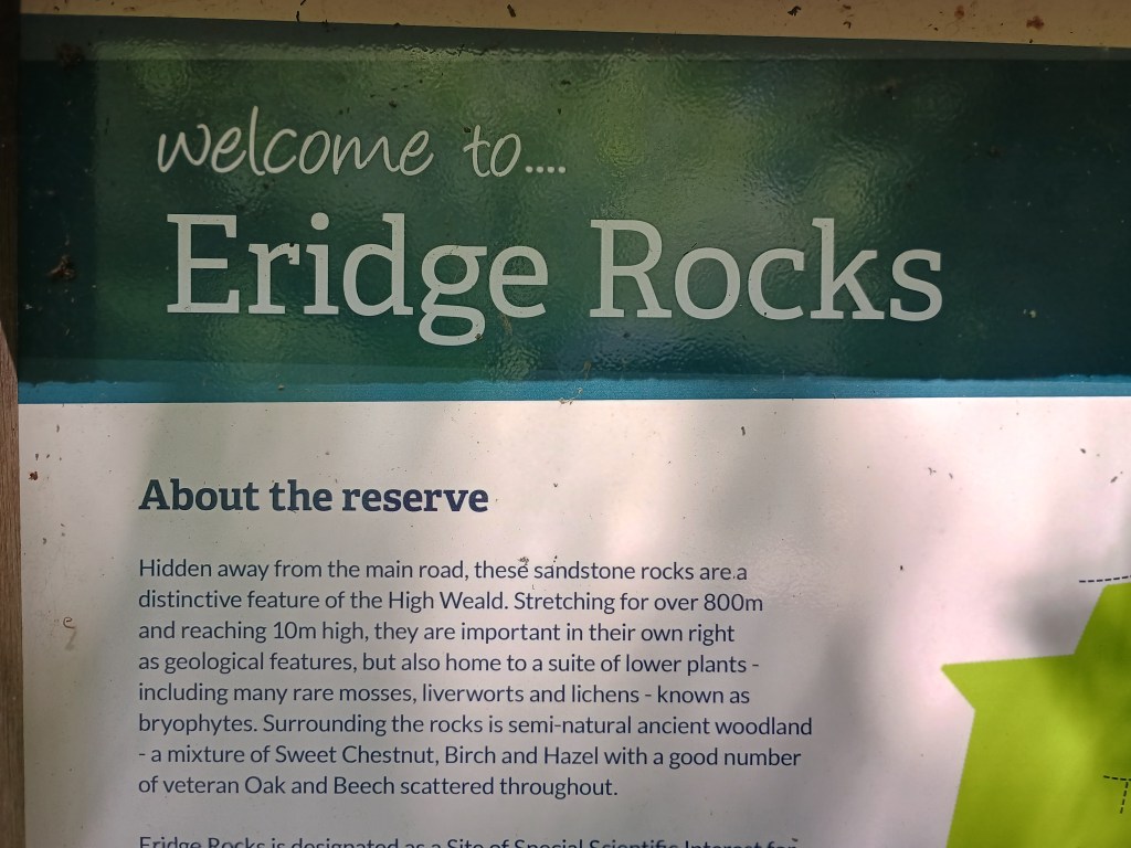
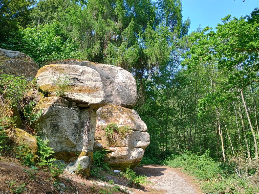
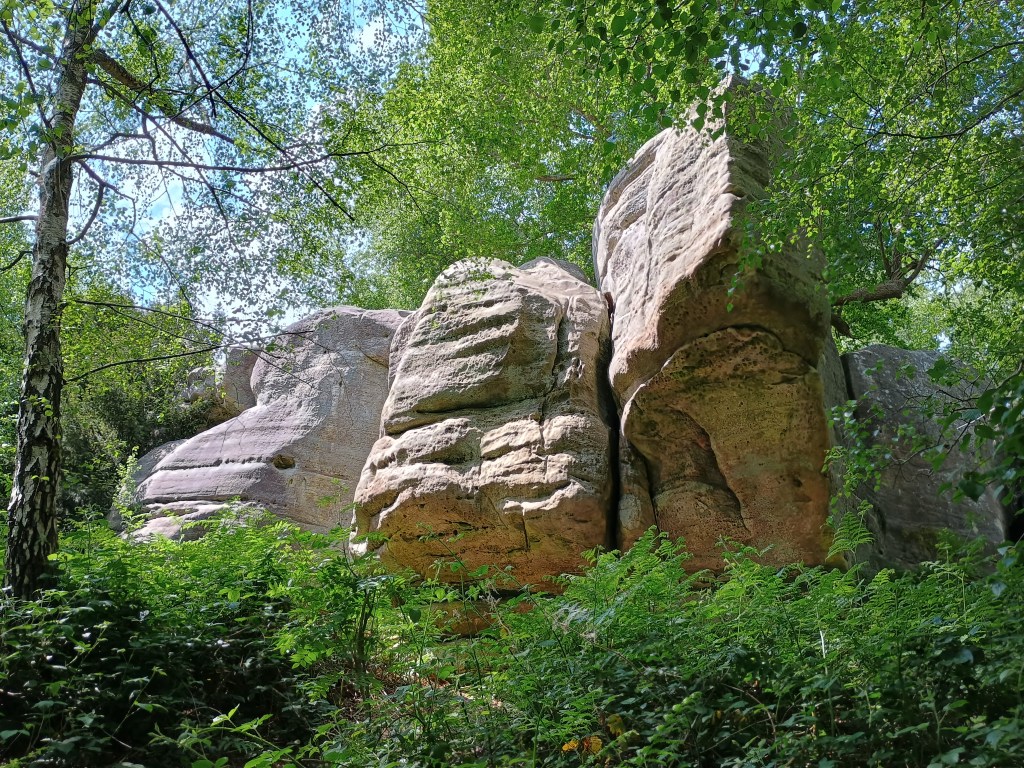
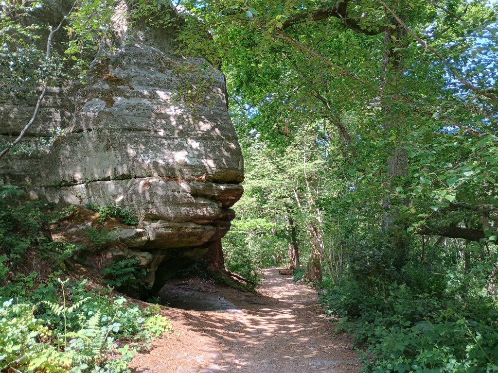
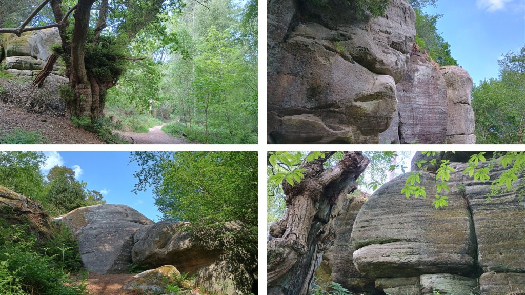
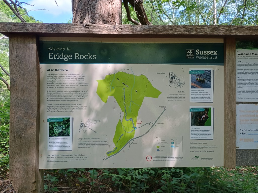
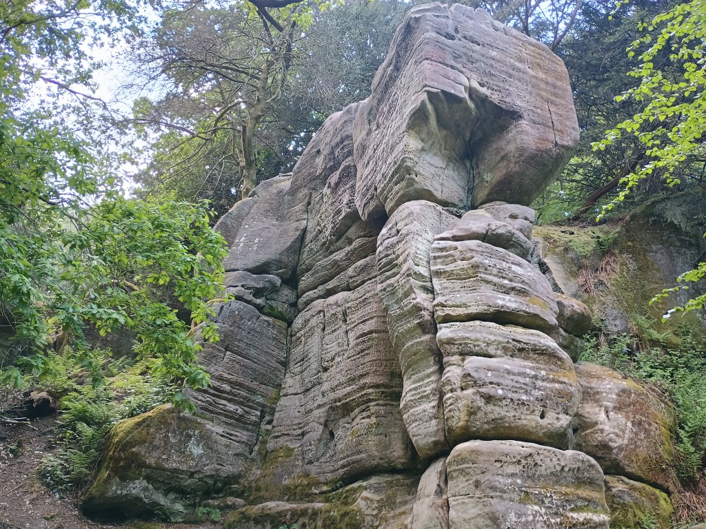
![]() Eridge Rocks is a Sussex Wildlife site with spectacular geology and a pretty woodland. If you want to do this one on its own, a full loop is just under a mile.
Eridge Rocks is a Sussex Wildlife site with spectacular geology and a pretty woodland. If you want to do this one on its own, a full loop is just under a mile.
Parking: large free car park at Broadwater Warren entrance on Broadwater Forest Lane; small free car park at Eridge Rocks entrance on Warren Farm Lane.
Public transport: bus stop near Church at top of Warren Farm Lane.
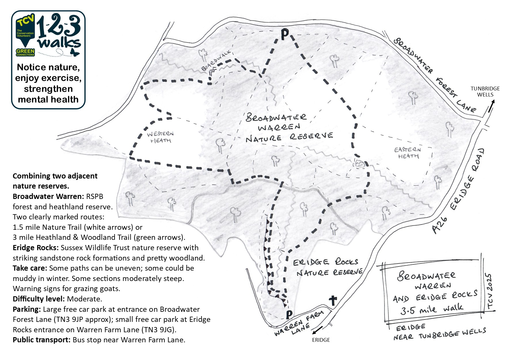
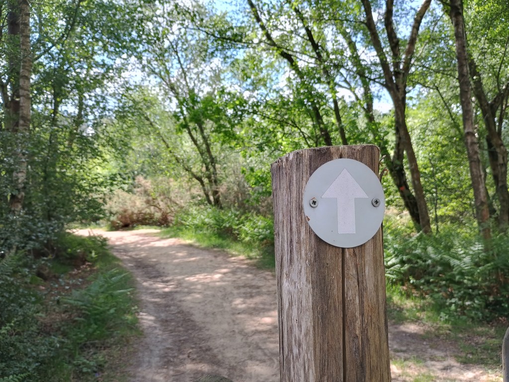


Broadwater Warren 1.5m Nature Trail – follow white arrows clockwise out of car park or click here for Map My Walk link.
Broadwater Warren 3m Heathland & Woodland Trail – follow green arrows anti-clockwise out of car park or click here for Map My Walk link.
Eridge Rocks 0.8m – click here for Map My Walk link that starts at Eridge Rocks car park, goes along the path at the bottom of the rocks and loops back through the pretty woodland. You might also want to explore the path above the rocks.
Broadwater Warren & Eridge Rocks 3.5m – click here for May My Walk route that joins both.
Walked, checked, measured and photographed: May 2025
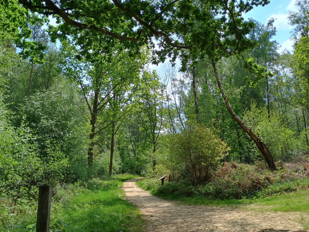
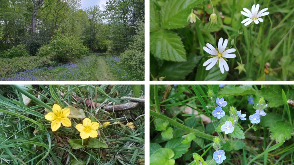
Click on a photo to enlarge and scroll through gallery view. Photos in no particular order, they are for inspiration only, and remember that things could change, especially depending on seasons/weather.
To follow an interactive map on your phone, install the free Map my Walk app and see our “How to” page. If you are following on your phone, remember that signal can be patchy in rural areas or dense woodland, we strongly recommend a printed map or screenshot backup.

