A bit too long for a 123 map, but I walked it and enjoyed it so I thought I would map it and share it for anyone who is up for a four and a half miler.
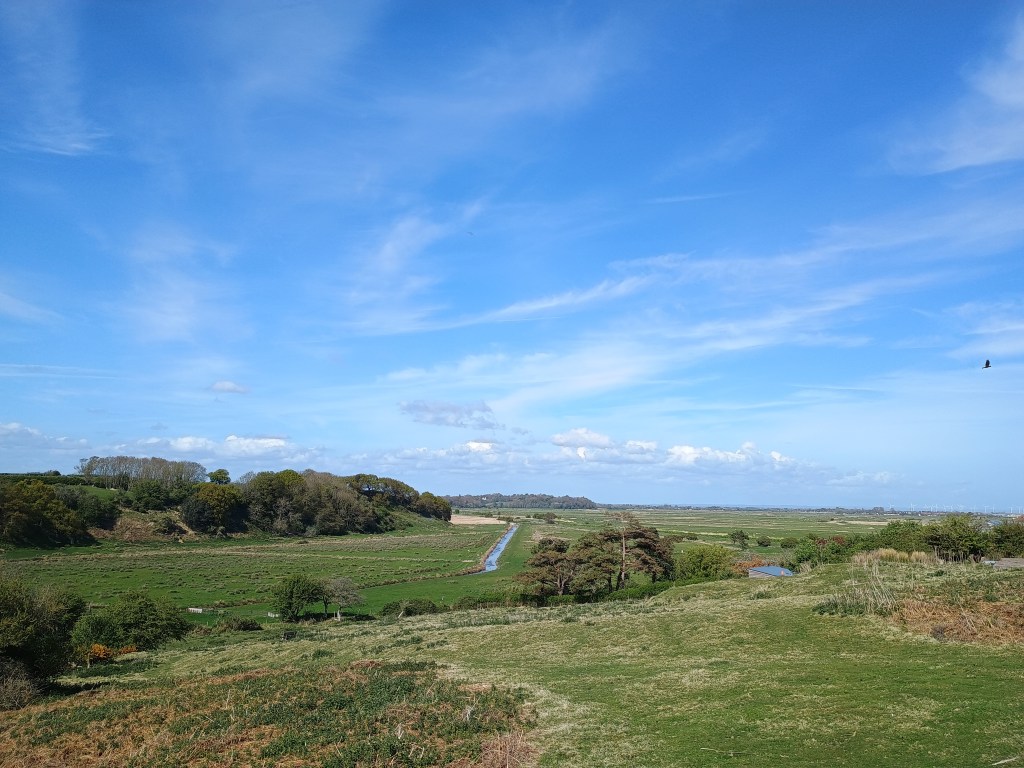
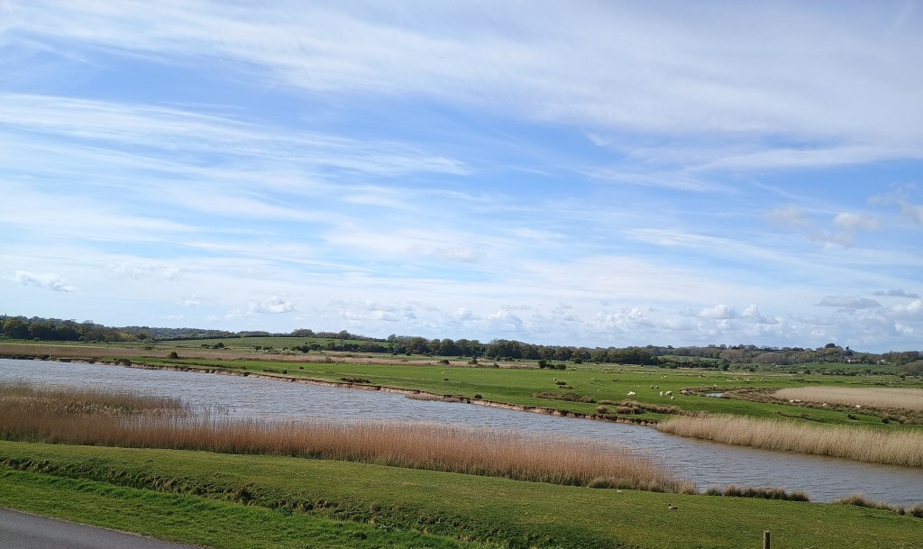
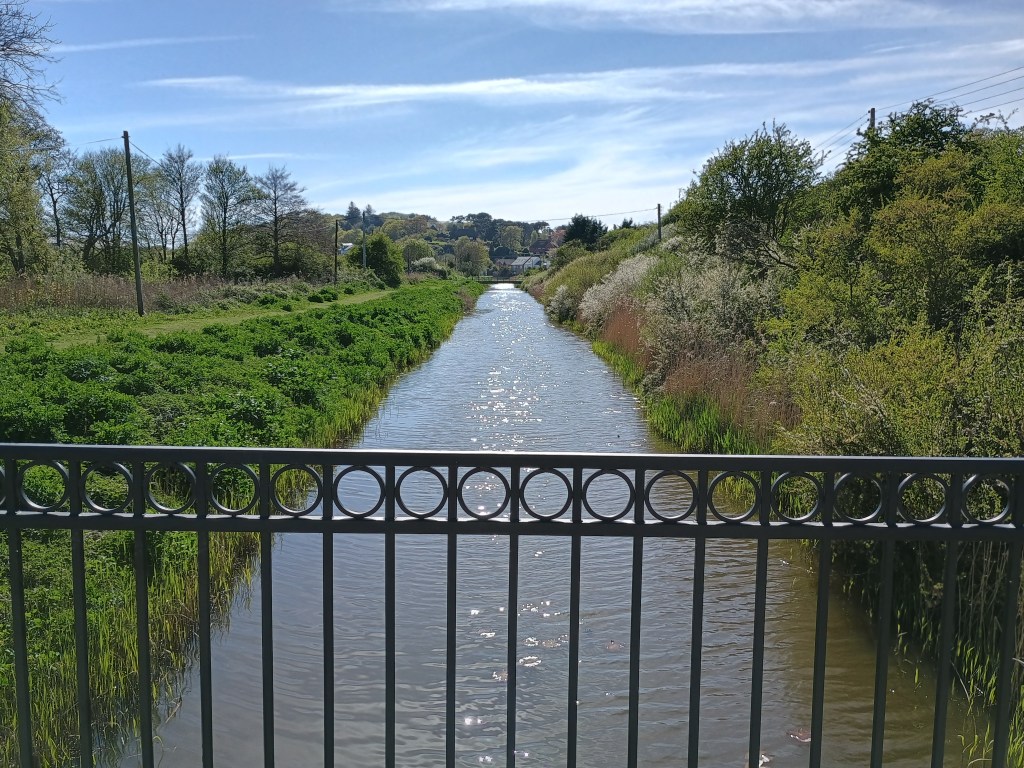
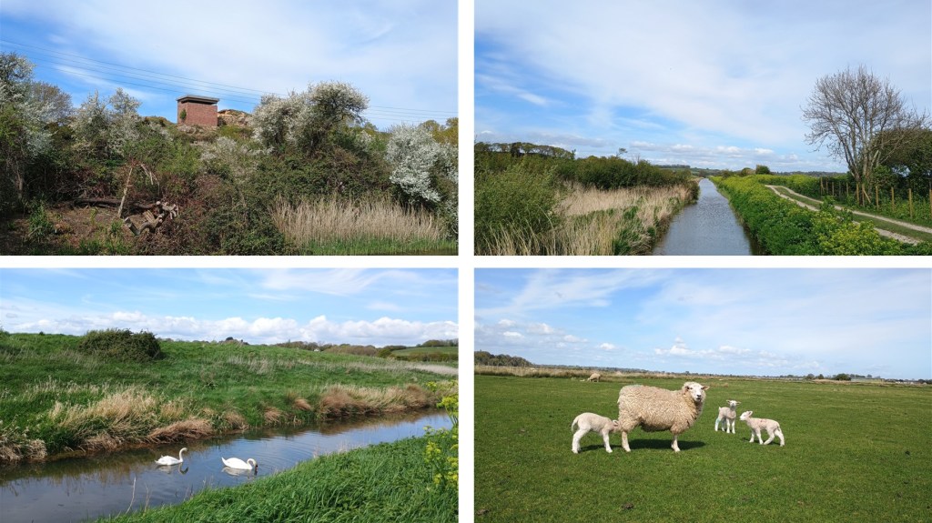
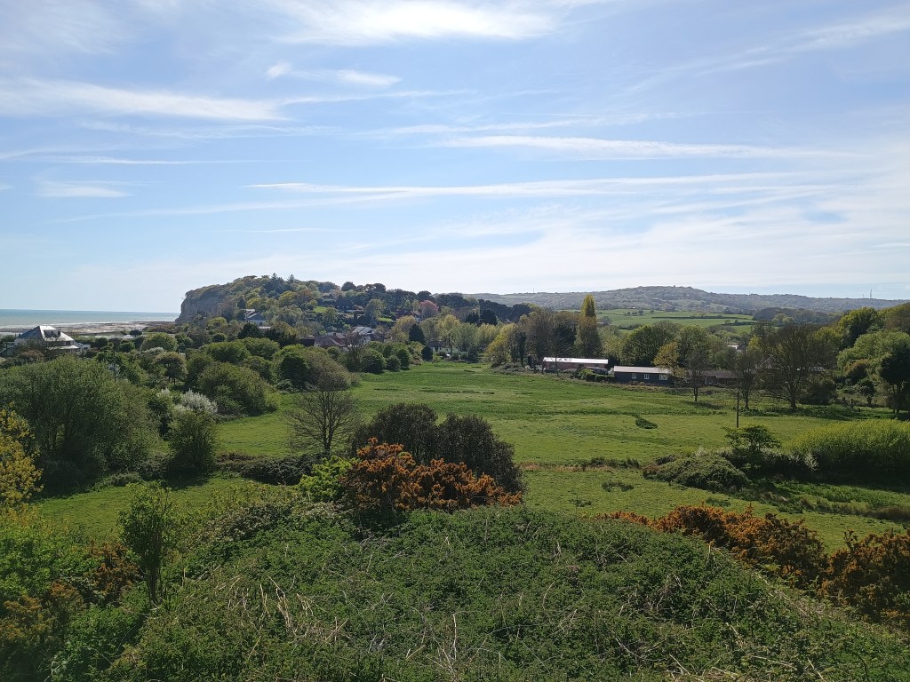
Lovely scenery and views, lots of water birds, and an interesting WWII lookout.
Lots of grazing sheep and sometimes cows, and a couple of big stiles, one of them wobbly.


Walked, checked, measured and photographed: May 2025.
Click on a photo to enlarge and scroll through gallery view. Photos in no particular order, they are for inspiration only, and remember that things could change, especially depending on seasons/weather.
To follow an interactive map on your phone, install the free Map my Walk app and see our “How to” page. If you are following on your phone, remember that signal can be patchy in rural areas or dense woodland, we strongly recommend a printed map or screenshot backup.

