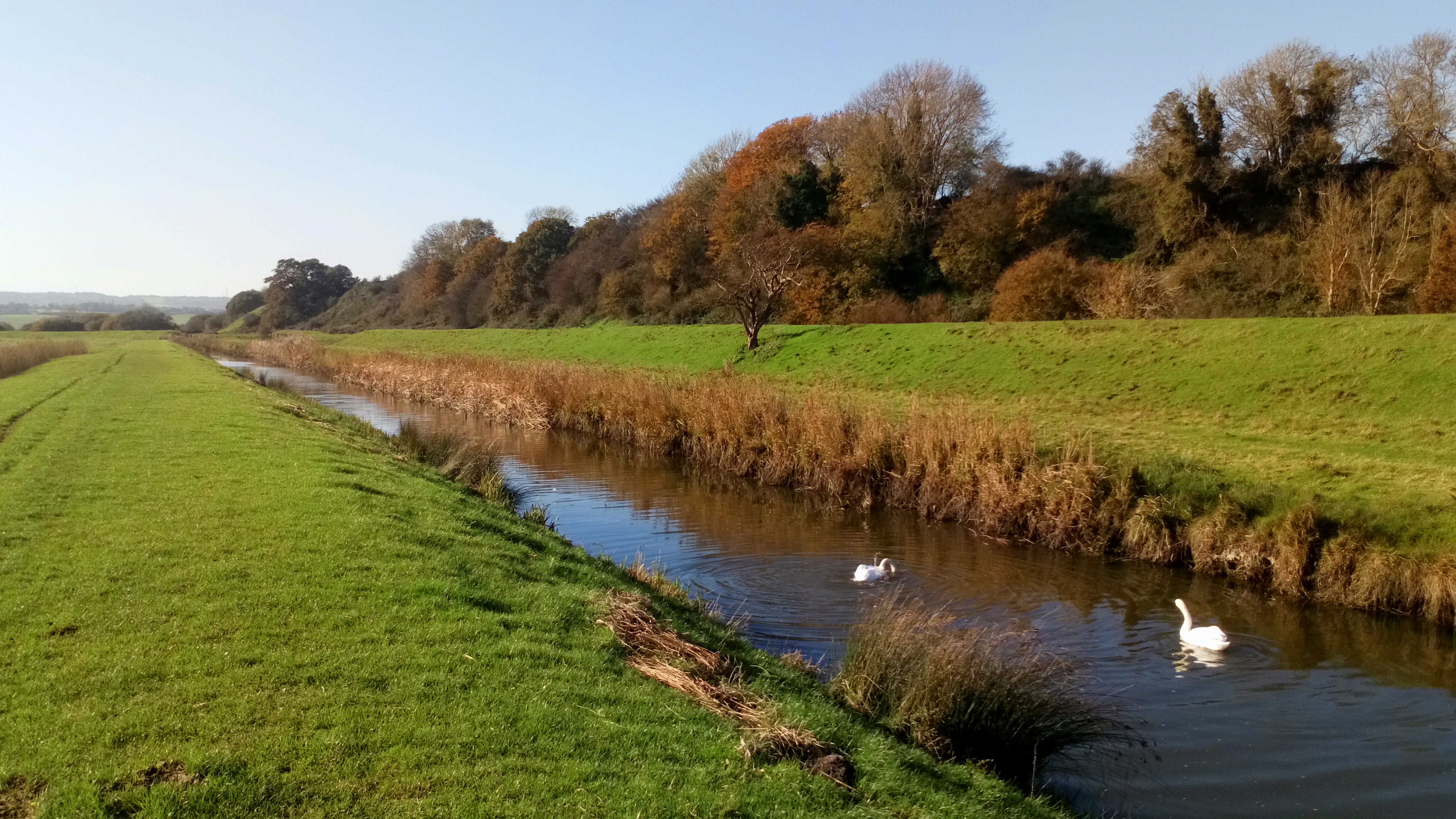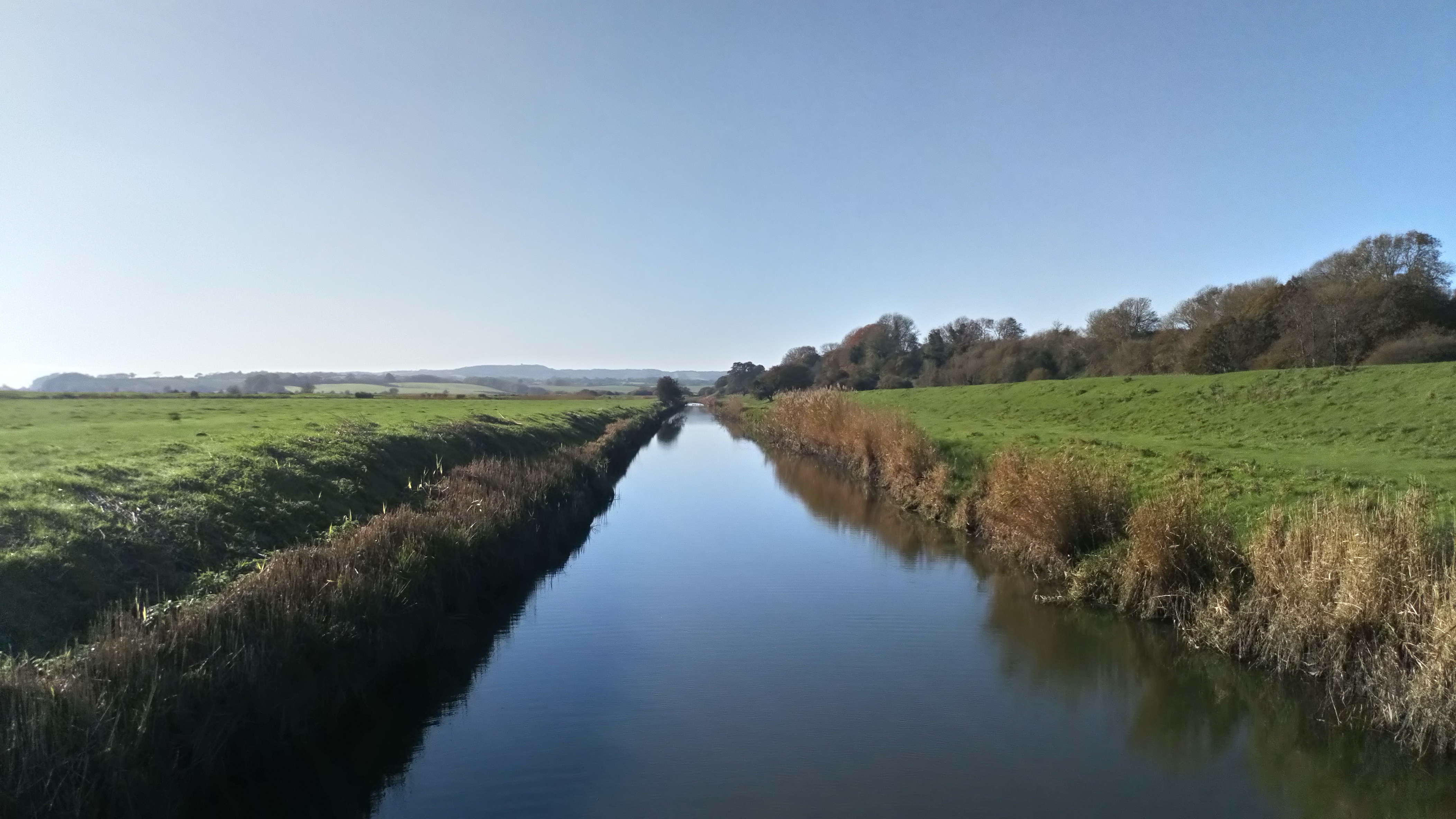
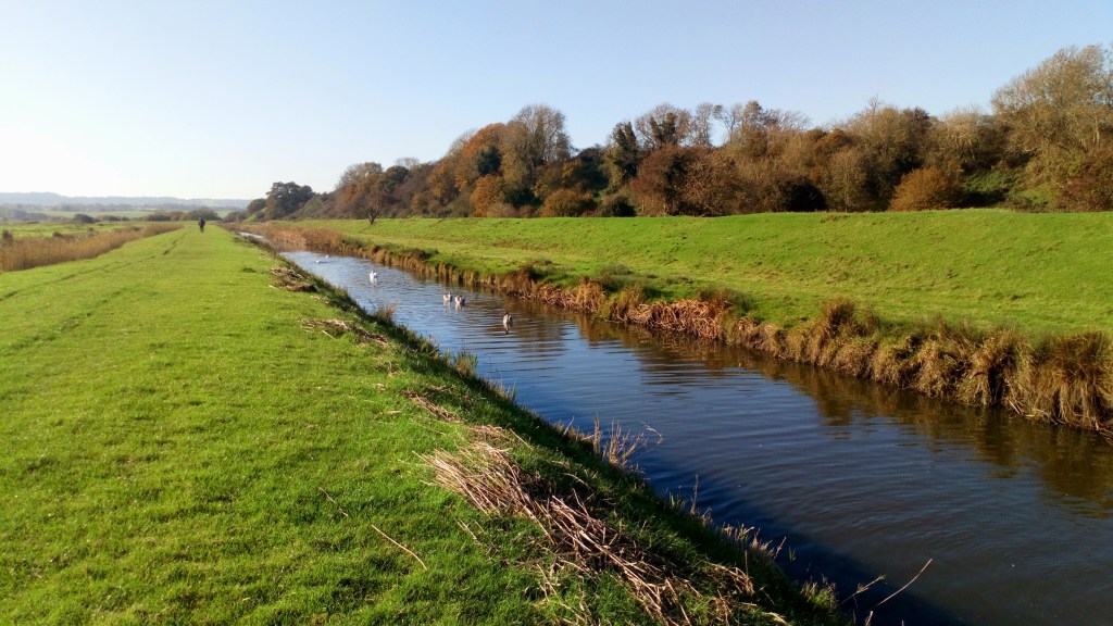
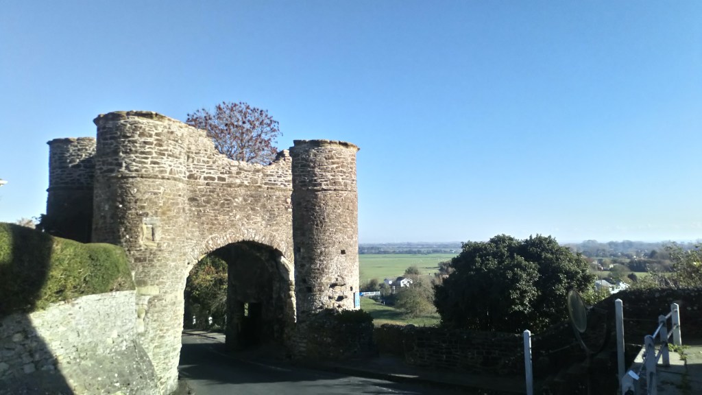
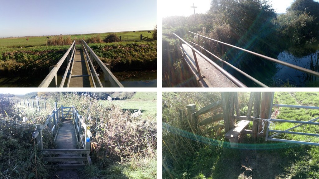
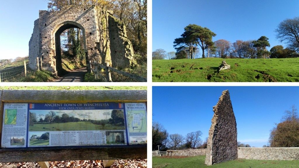
Gorgeous watery walk with stunning views and historic architecture. Cross at the big bridge for 2.4 miles, go to the next one to add another mile.
This is likely to get very muddy in winter, and there were grazing sheep and cattle in some of the fields; there were a few stiles, and it was slightly steep in places.
Parking: some free on street parking in the area, please park with consideration for residents. Public transport: bus stops on German Street and Tanyard Lane.
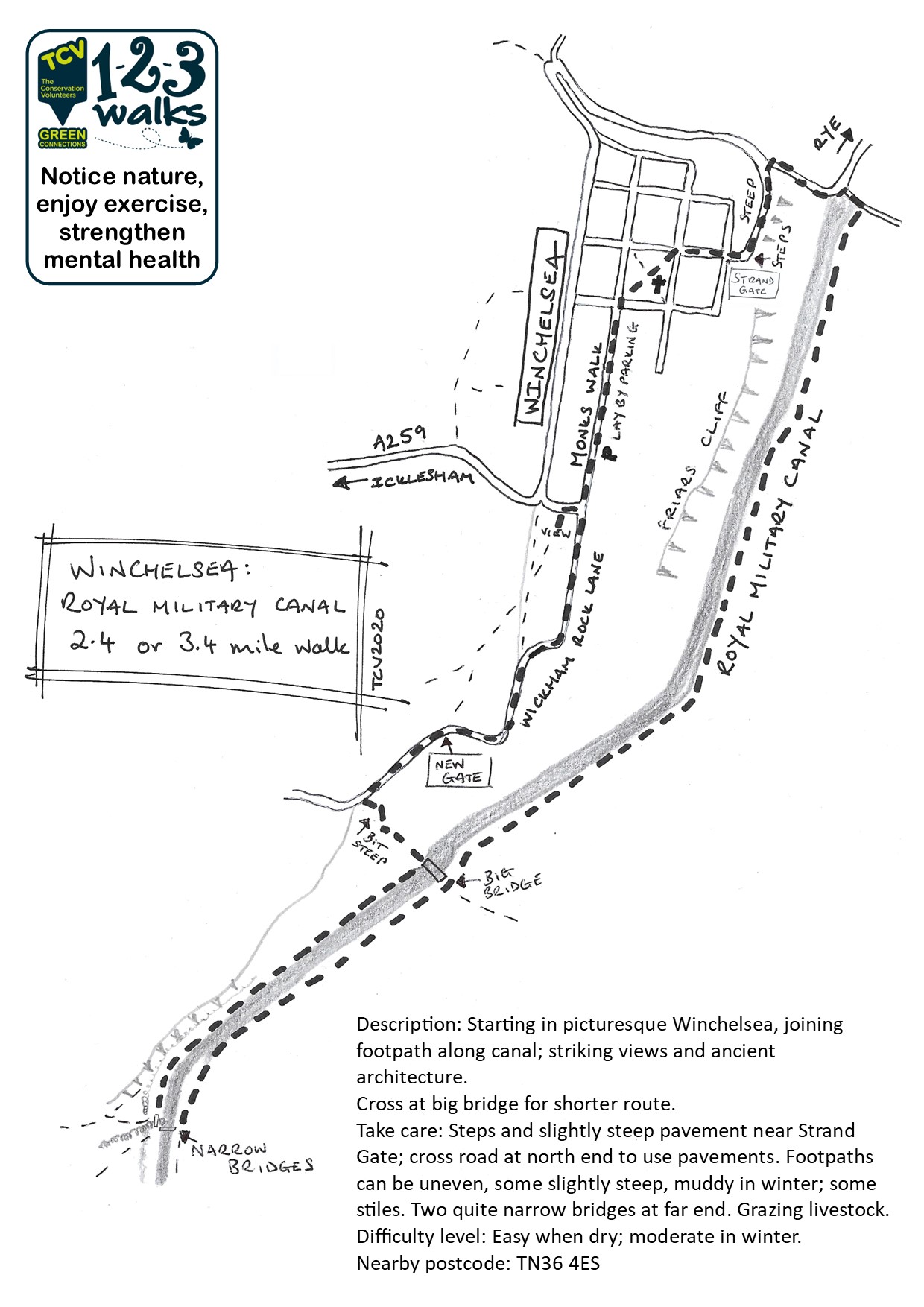


Walked, checked, measured and photographed: November 2020
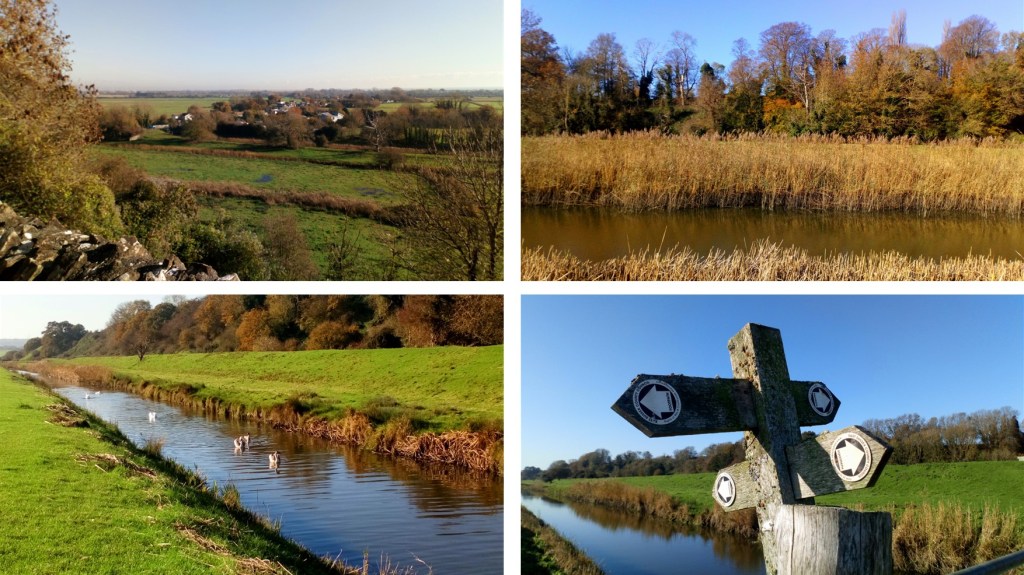
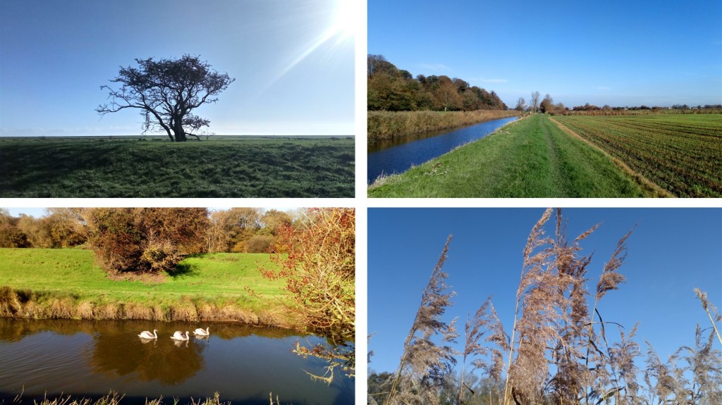
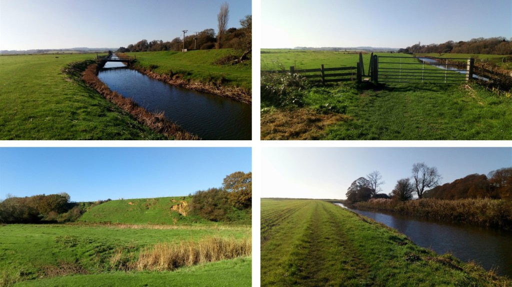
Click on a photo to enlarge and scroll through gallery view. Photos in no particular order, they are for inspiration only, and remember that things could change, especially depending on seasons/weather.
To follow an interactive map on your phone, install the free Map my Walk app and see our “How to” page. If you are following on your phone, remember that signal can be patchy in rural areas or dense woodland, we strongly recommend a printed map or screenshot backup.