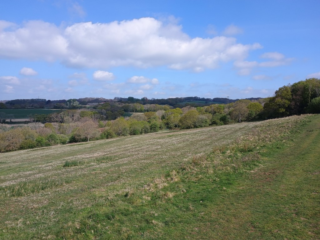
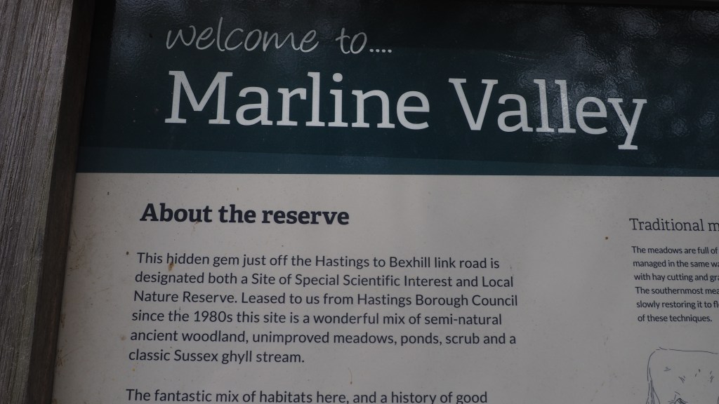
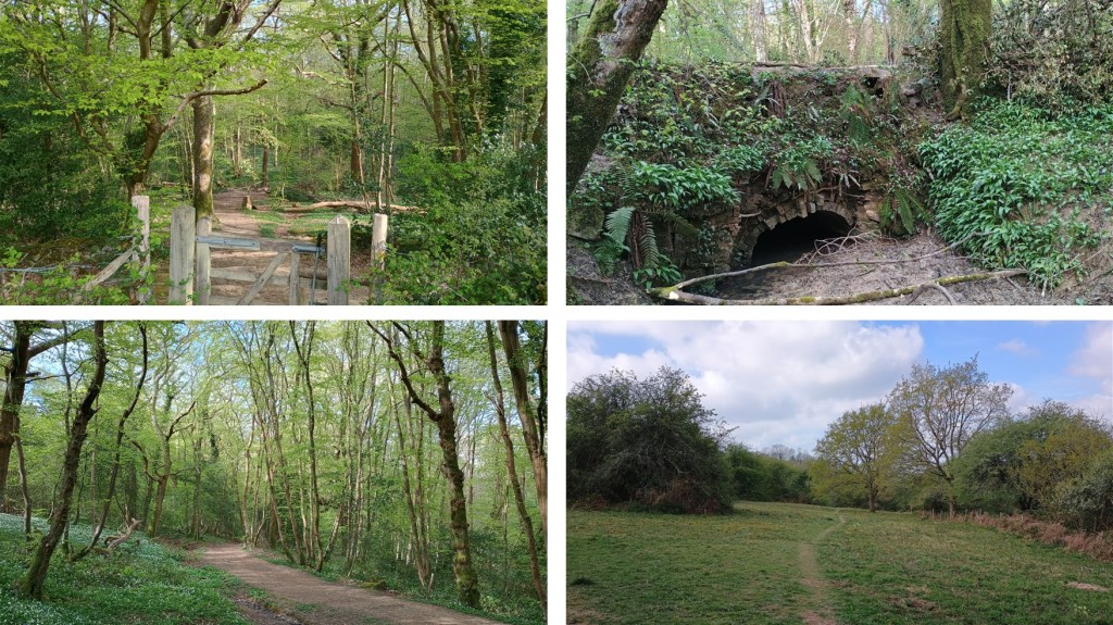
This is a lovely Sussex Wildlife Trust nature reserve with an ancient ghyll, pretty woodland and open meadow areas with sweeping views. The dotted extension marked on this map is a very pretty stream path but much more uneven, cut this out if you can’t manage a bit of clambering.
There is no designated parking but SWT advise Napier Road and to cross Queensway with extreme care at the little traffic island, there is a public footpath just by the side of what used to be the Sussex Exchange. There are a few other potential entry points, mostly with limited parking.
If you fancy a longer walk, you can start from Crowhurst at the bottom of Station Road and make a nice loop on public footpaths through Park Farm and Stonebridge Farm (check a bigger map).


Walked, checked, measured and photographed: April 2023 & April 2025.
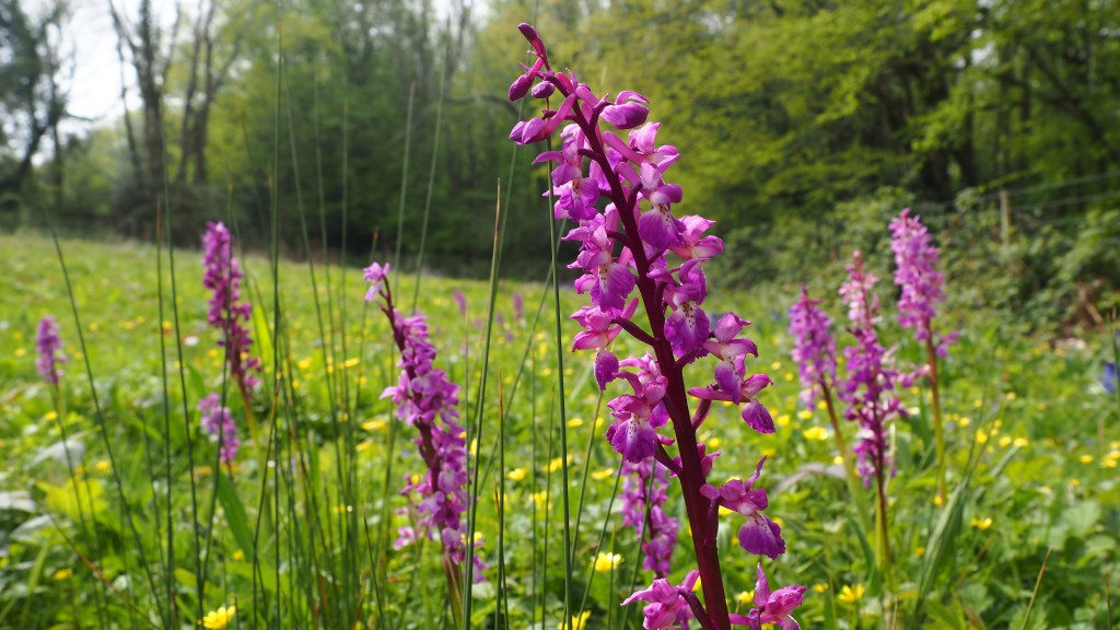
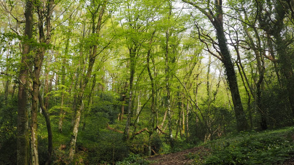
Click on a photo to enlarge and scroll through gallery view. Photos in no particular order, they are for inspiration only, and remember that things could change, especially depending on seasons/weather.
To follow an interactive map on your phone, install the free Map my Walk app and see our “How to” page. If you are following on your phone, remember that signal can be patchy in rural areas or dense woodland, we strongly recommend a printed map or screenshot backup.