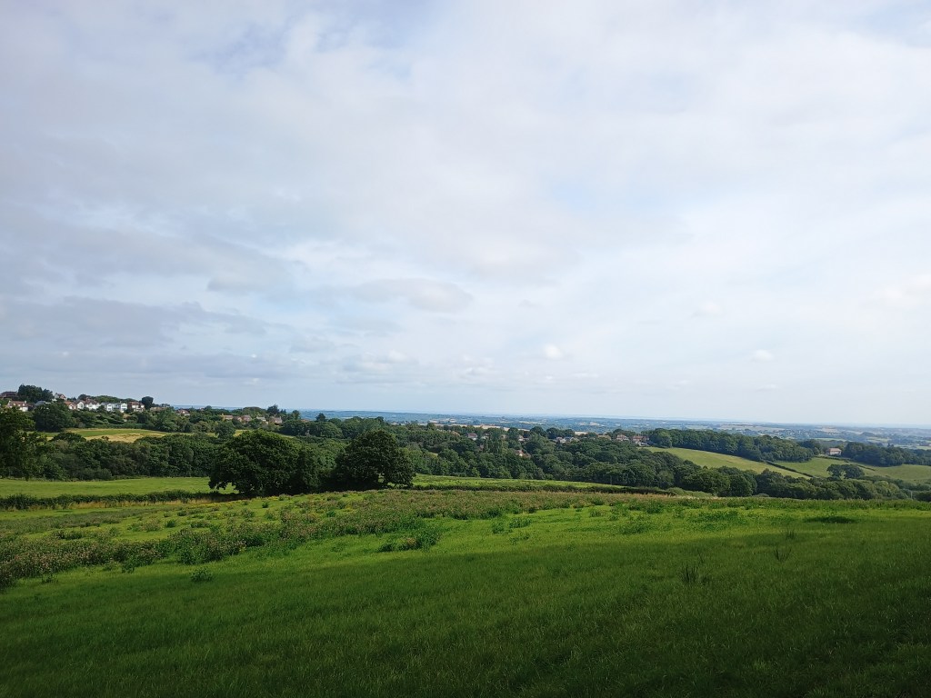
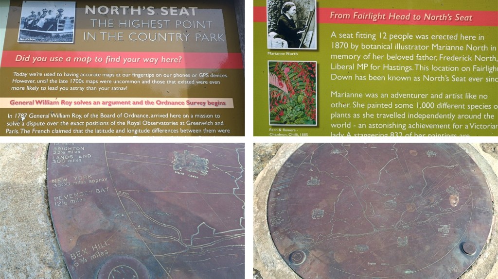
The northernmost section of Hastings Country Park includes North’s Seat, the highest point of the park, site of an 18th Century mapping experiment and named after a bench installed by Marianne North, a 19th Century artist and explorer. This route crosses Martineau Lane to add on a public footpath through fields and woods with sweeping views.
Lots of opportunities to make shorter loops or to extend down into the Country Park, please check a larger map. Lots of picnic benches and some BBQ stands next to the car park; the toilet block was closed at the time of mapping.
The spur towards North’s Seat is worth it for the history, and there’s a small walking loop at that end that has nice views back over Hastings.
Parking: Large pay and display car park on Fairlight Road; very limited amount of parking near North Seat but very uneven. Public transport: bus stops near car park entrance.


Walked, checked, measured and photographed: August 2025
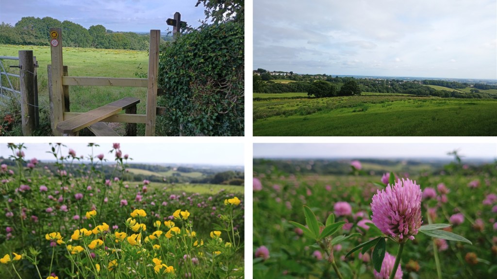
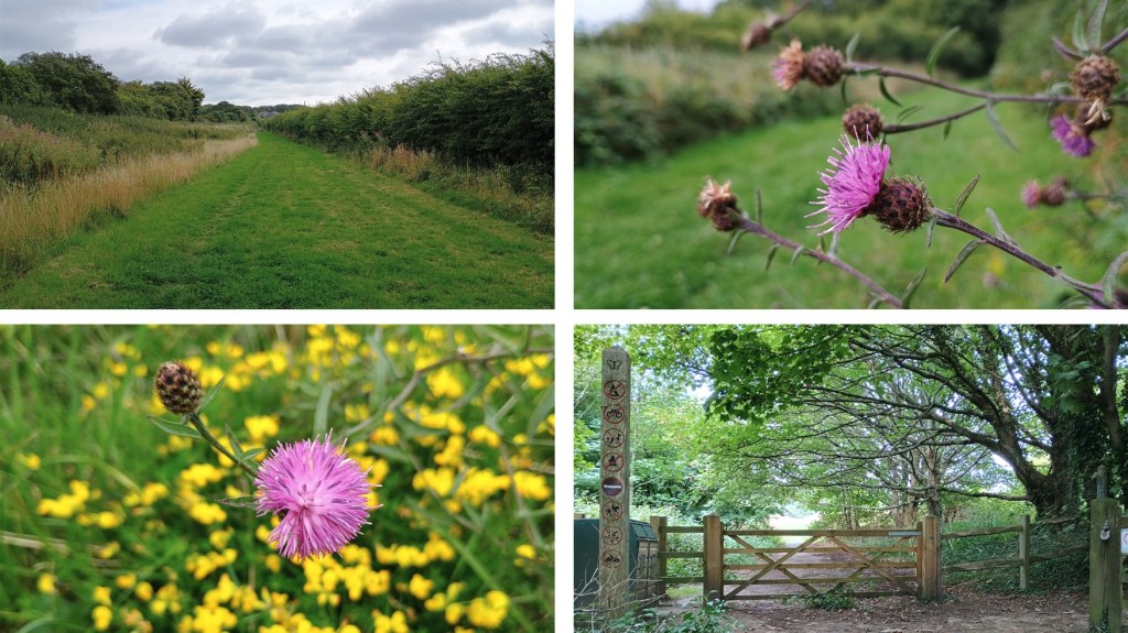
Click on a photo to enlarge and scroll through gallery view. Photos in no particular order, they are for inspiration only, and remember that things could change, especially depending on seasons/weather.
To follow an interactive map on your phone, install the free Map my Walk app and see our “How to” page. If you are following on your phone, remember that signal can be patchy in rural areas or dense woodland, we strongly recommend a printed map or screenshot backup.